
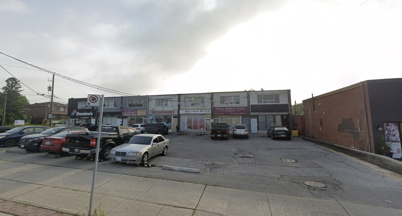
If you’ve driven down Marlee Avenue lately, you’ve probably noticed something: the corridor is changing.
What was once defined almost entirely by mid-rise rental buildings is steadily evolving into something taller, denser, and more transit-focused. The latest example comes in the form of a new Official Plan and Zoning By-law Amendment application for 351–377 Marlee Avenue, 2–6 Romar Crescent, and 265–269 Viewmount Avenue.

The proposal calls for two mixed-use towers rising 36 and 39 storeys on a shared podium, adding 905 new residential units just steps from Glencairn Station. It’s another signal that this stretch of Marlee is gradually transitioning into a more vertical, transit-oriented node within the Yorkdale–Glen Park area.
Key Numbers at a Glance
- 36 & 39 storeys (122.8m and 132.1m)
- 6-storey shared podium
- 905 residential units
- 58,179 sq.m. total gross floor area
- 815 sq.m. non-residential space
- Floor Space Index (FSI): 11.01
- 224 vehicle parking spaces
- 1,007 bicycle parking spaces
Site Context
The site occupies a large assembly spanning Marlee Avenue, Romar Crescent, and Viewmount Avenue, just east of Glencairn Station on Line 1. Historically characterized by mid-rise rental and commercial buildings, this pocket of the Yorkdale–Glen Park area is now seeing a noticeable shift toward higher-density redevelopment.

Its location near rapid transit is central to the application. With direct subway access and connections to the evolving Eglinton corridor, the site fits within the broader pattern of intensification occurring along transit corridors across Toronto.
Built Form Breakdown
The proposal consists of two towers rising 36 and 39 storeys above a shared six-storey podium.
The podium establishes the streetwall condition and contains residential amenity space along with approximately 815 square metres of non-residential space at grade. Above, the towers step up to heights of 122.8 metres and 132.1 metres respectively.

As with many contemporary applications in the area, the massing strategy concentrates height toward the centre of the site while using the podium to frame the public realm.
What Does an FSI of 11.01 Mean?
The proposed Floor Space Index of 11.01 means the total buildable floor area is just over eleven times the size of the lot area.
In practical terms, that represents a significant increase in density compared to the mid-century rental buildings that currently characterize much of Marlee Avenue. However, in a transit-oriented context immediately adjacent to a subway station, this level of density aligns with the City’s broader intensification objectives.
Unit Count & Parking
The application proposes 905 residential units.
Parking is proposed at 224 vehicle spaces, resulting in a relatively low parking ratio compared to older developments in the area. In contrast, 1,007 bicycle parking spaces are proposed — a clear signal of the project’s transit-supportive orientation.
This balance reflects a broader shift in planning policy: prioritizing transit access, walkability, and active transportation over private vehicle reliance.

Marlee Avenue: A Corridor in Transition
For decades, Marlee Avenue was largely defined by mid-rise rental and commercial buildings. Today, that pattern appears to be evolving.
Multiple recent applications along Marlee, Romar, Viewmount, and nearby streets suggest a gradual transformation toward taller buildings clustered around Glencairn Station. Rather than isolated proposals, these projects collectively point to a corridor moving toward a higher-density urban form.
What’s notable is not just the height, but the consistency. The scale of new proposals is becoming more uniform, signalling that Marlee may be entering a new chapter as a transit-oriented node within Toronto’s west-central neighbourhoods.
Final Thoughts
At 36 and 39 storeys, this proposal would represent another significant addition to the Marlee Avenue skyline.
As with all Official Plan and Zoning By-law Amendment applications, the project will move through community consultation and City review before any approvals are granted. We’ll continue monitoring its progress as it advances.
If you’re buying, selling, or investing in the Yorkdale–Glen Park area — or simply trying to understand how these planning shifts may impact property values — feel free to reach out. Understanding where density is headed often provides valuable insight into where opportunity may follow.


